Description
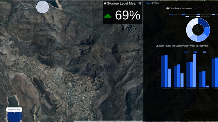
Welcome to Web Scraping and Mapping Dam Levels in Python. In this course
you will be exposed to multiple technologies, and topics such as: Web Scraping
ETL, Python Django Programming, Web Mapping, and Data Visualization. You
will combine each of these topics and technologies to create an end-to-end GIS
web application.
• You will learn how to apply web scraping to collect dam level data from a
website.
• You will then build a model, that you will use to plot the dam level data on a
map using leaflet.
• You will learn how to use the Django Template Engine instead of Ajax, to
pass data from the back-end to the front-end.
• You will learn how to build a spatial database using PostgreSQL.
• You will also learn how to build a small dashboard that floats over your
map, which will contain graphs that will visualize your model.
Who this course is for:
- Python Developers at any level
- GIS Developers at any level
- Developers at any level
- The curious mind
Requirements
- Very basic understanding of Python
- Little or no understanding of GIS
- Very basic understanding of Programming
- Basic understanding of Data
Last Updated 6/2020
Download Links
Direct Download
Web Scraping and Mapping Dam Levels in Python and Leaflet.zip (1.9 GB) | Mirror


